Hiking route: Guebwiller – Grand Ballon
Hiking route: Guebwiller – Grand Ballon


Description
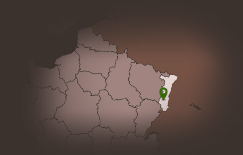
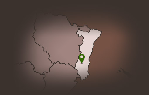
This hike takes you to Grand Ballon, the highest peak of the Vosges mountains, which rises up to 1,424 metres. From this pass, if the weather is clear, you can enjoy a breathtaking view over the Alsace plain, the Black Forest and even the Alps mountain range. Along the way, you will pass through a variety of landscapes of conifer and non-conifer forests, glades and pastures. As you gain altitude, you will see the changes in the Vosges flora.
Duration: 7h
Length: 23 km
Accumulated altitude: 953 m
Hiking sheet and topographical guide are available from the Guebwiller and Soultz Tourist Offices.
Duration: 7h
Length: 23 km
Accumulated altitude: 953 m
Hiking sheet and topographical guide are available from the Guebwiller and Soultz Tourist Offices.
Additional Information
Latitude 47.905088061117
Longitude 7.1970520104303
Type de balisage
Altitude 350 m