Mountain bike route: Strohberg Route
Mountain bike route: Strohberg Route

Description
After all your hard work, you can relax. After climbing the Bannstein, Firstplan and Boenlesgrab passes, you can revel in the landscape while enjoying refreshments at the Strohberg farm-inn. From here, through shrubs and wood, you will come to Linthal, a charming village on the valley floor, to climb up to the Boenlesgrab pass and retuen to your starting point.
Level: Very difficult
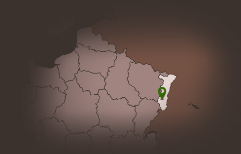
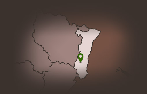
Start: Bannstein Col
Distance: 45.30 km
Difference in altitude (positive gain): 1,492 m
Towns crossed: Soultzmatt, Rouffach, Wasserburg, Linthal and Lautenbach
Level: Very difficult
Start: Bannstein Col
Distance: 45.30 km
Difference in altitude (positive gain): 1,492 m
Towns crossed: Soultzmatt, Rouffach, Wasserburg, Linthal and Lautenbach
Additional Information
Latitude 47.953595797839
Longitude 7.1928383806016
Balisage à suivre Balisage Espace VTT FFC N°10
Type de balisage
Altitude 490 m
Type de chemin path
Lieu de départ Col de Bannstein