Mountain bike route: Kohlschlag Route
Mountain bike route: Kohlschlag Route

Description
After crossing the Wuenheim vineyard and pausing to admire the Zimmermann cross, you will arrive at the Kohlschlag farm-inn, close to the Amic pass. From here, via magnificent forests, you will return to the yourstarting pointvia a sporting route and Wuenheim Main Street.
Level: Difficult
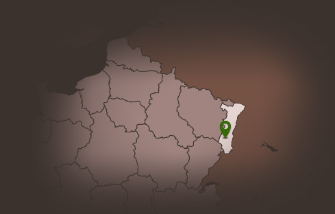
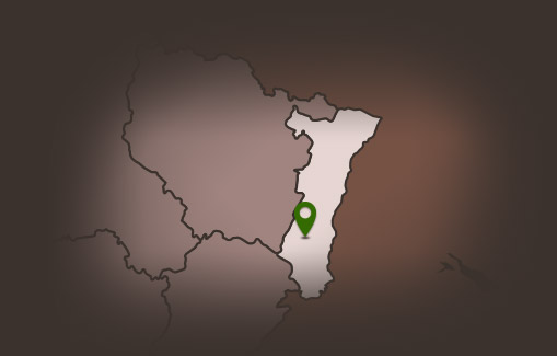
Start: Soultz/Wuenheim – Vieil-Armand Winemaking Cellar
Distance: 19.20 km
Difference in altitude (positive gain): 576 m
Communes crossed: Wuenheim and Soultz Upper Rhine
Level: Difficult
Start: Soultz/Wuenheim – Vieil-Armand Winemaking Cellar
Distance: 19.20 km
Difference in altitude (positive gain): 576 m
Communes crossed: Wuenheim and Soultz Upper Rhine
Additional Information
Latitude 47.87438027469
Longitude 7.2170855500963
Balisage à suivre Balisage Espace VTT FFC N°14 Rouge
Type de balisage
Altitude 295 m
Type de chemin path
Lieu de départ Cave vinicole du Vieil-Armand - Soultz/Wuenheim